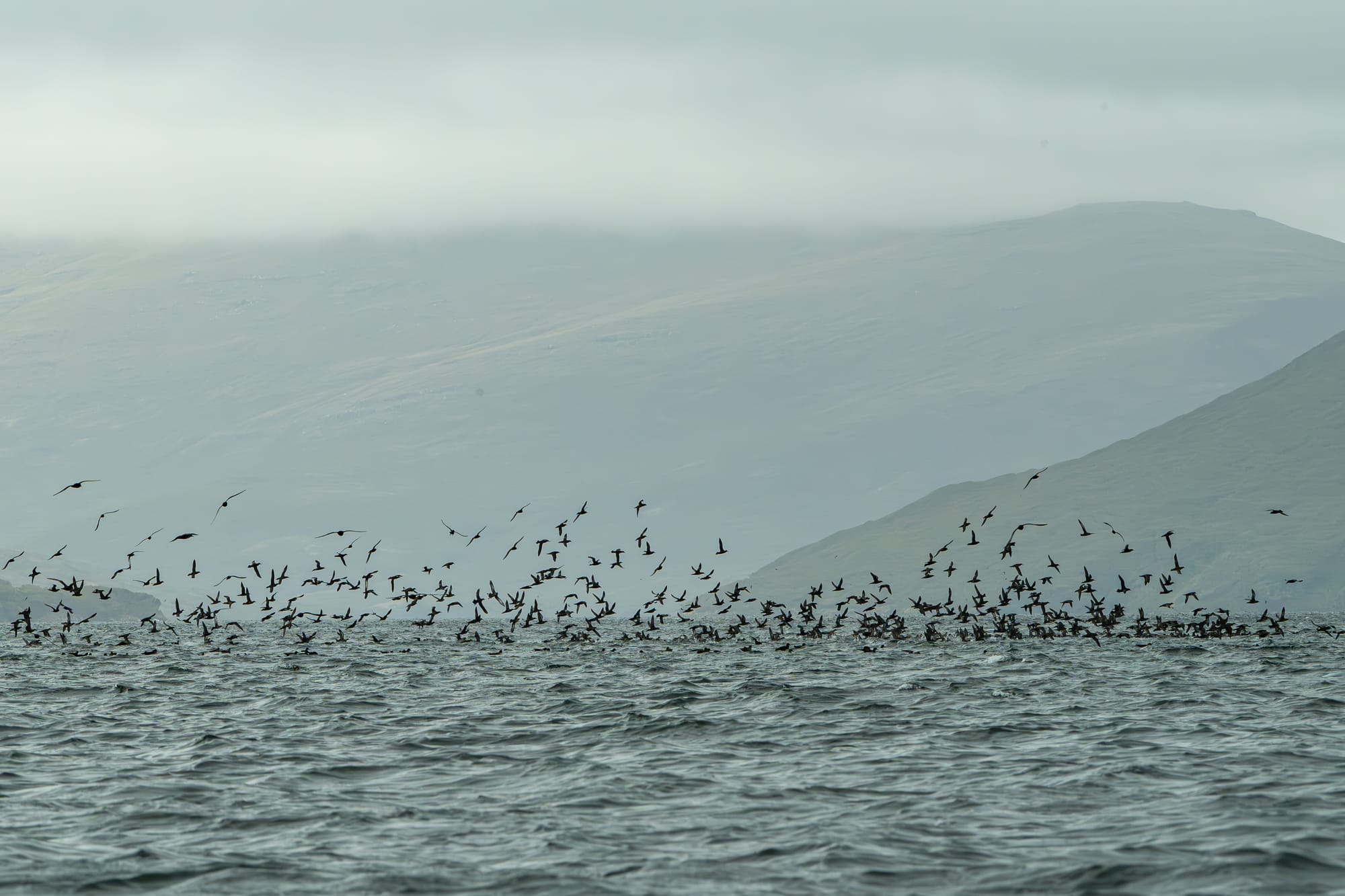
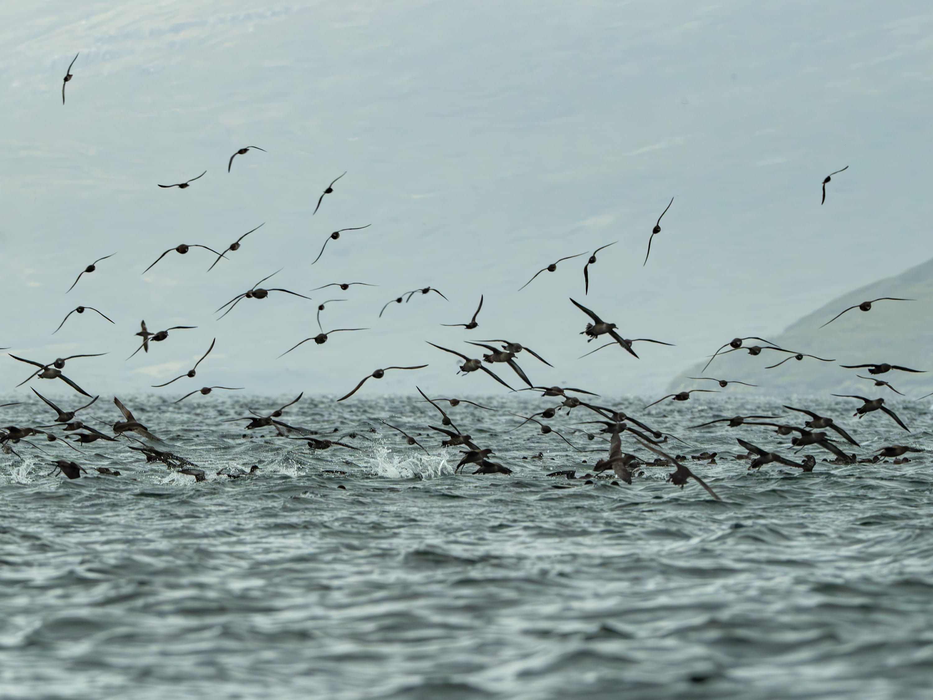
Following our earlier journeys to the Subantarctic islands in the previous issues of the journal, for the next stop on my Subantarctic adventure, let me take you to the Auckland Islands. No, you won’t find them in the Hauraki Gulf. Instead, you will need to sail 460 km south of Bluff.
The three biggest islands are Enderby to the north, sized 710 hectares. The largest island is Auckland Island in the middle, covering 50,990 hectares. The southernmost island of the main three is Adams Island, with an area of 10,119 hectares. Carnley Harbour, covering 72 square kilometres in area, separates Adams and Auckland Islands.

The islands were formed from two ancient volcanoes between 25 and 20 million years ago. Carnley Harbour is a flooded caldera, with Adams Island forming the southern rim. Mt Dick on Adams Island has the highest point of all the Subantarctic Islands at 705 metres. The western side of the main Auckland Island consists of sheer cliffs, sometimes up to 400 metres in height, while the eastern side has numerous inlets and bays, sloping down to sea level. The landscape was shaped by glaciers and so, in places, is mountainous and rugged. Enderby Island, however, is quite low-lying with a smoother, undulating, and peaty landscape. Sandy Bay is the only place you can land, as the rest of it is edged with cliffs.


